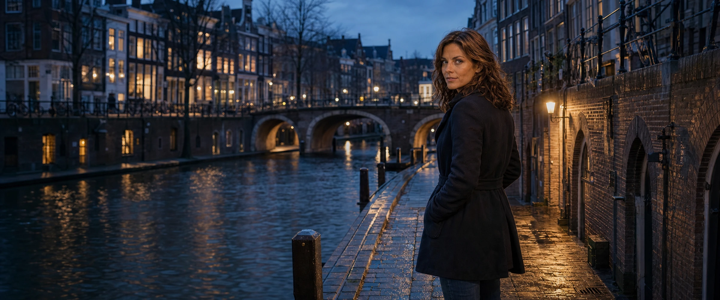
Elsa beside an Utrecht canal at blue hour

A walk between worlds

Elsa’s
Utrecht

The streets that shaped her. The places she returns to. Utrecht, remembered in Elsa Meijer’s own voice.

Begin the walk
Nachtegaalstraat → Ledig Erf · approx. 5 km
“
Some cities show themselves all at once. Utrecht doesn’t. It asks you to walk slowly.

This is not a guide to every monument. It is a path through Elsa’s world: the ordinary streets she knows, the water she follows, and the places where Earth can still feel strange and beautiful.

Six places · one afternoon

Follow her footsteps

Read the route here, or open each stop in your maps app while exploring Utrecht.

Nachtegaalstraat01

52.0922° N · 5.1318° E

Nachtegaalstraat

Where the city begins

“People imagine Utrecht begins at the Dom Tower. For me, it begins here—where bicycles whisper over wet stones and the city is still deciding whether to wake.”

Elsa’s neighbourhood sits just east of the old city. The street’s name reaches back centuries, to a lane associated with nightingales heard in late spring.

Open in maps
Maliebaan02

52.0906° N · 5.1379° E

Maliebaan

The long green line

“The trees make a corridor here. On some mornings, the distance between one end and the other feels much greater than a few city blocks.”

A broad, tree-lined avenue around the corner from Nachtegaalstraat. Follow it south toward the quiet, green edges of Wilhelminapark.

Open in maps
Wilhelminapark03

52.0879° N · 5.1418° E

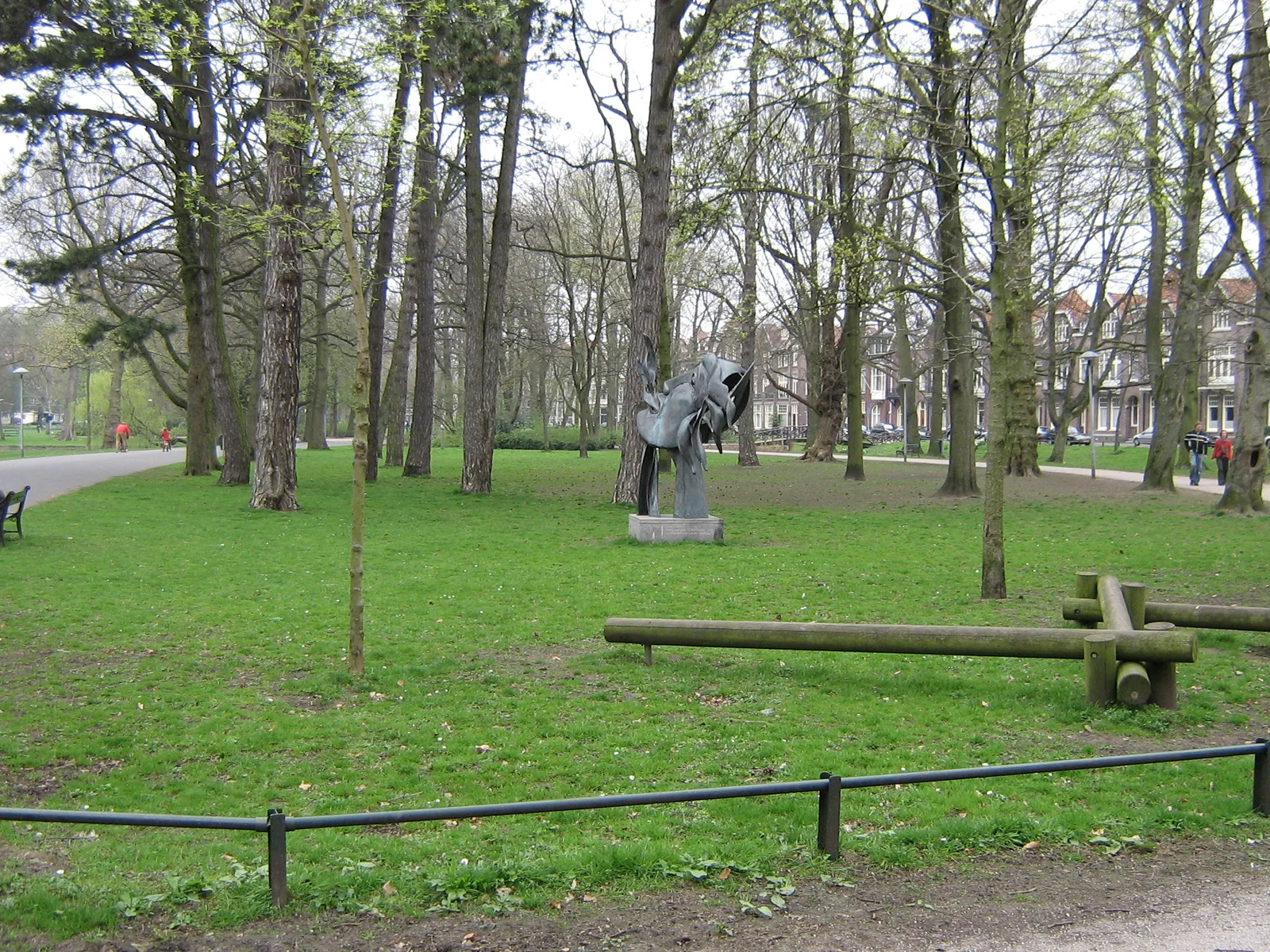
Wilhelminapark

A place to breathe

“I come here when my thoughts need room. Water, old trees, dogs running without purpose—the ordinary world, quietly insisting that it matters.”

One of Utrecht’s most loved city parks: winding paths, old trees and open lawns, close enough to feel like part of Elsa’s daily world.

Open in maps
Oudegracht04

52.0907° N · 5.1214° E

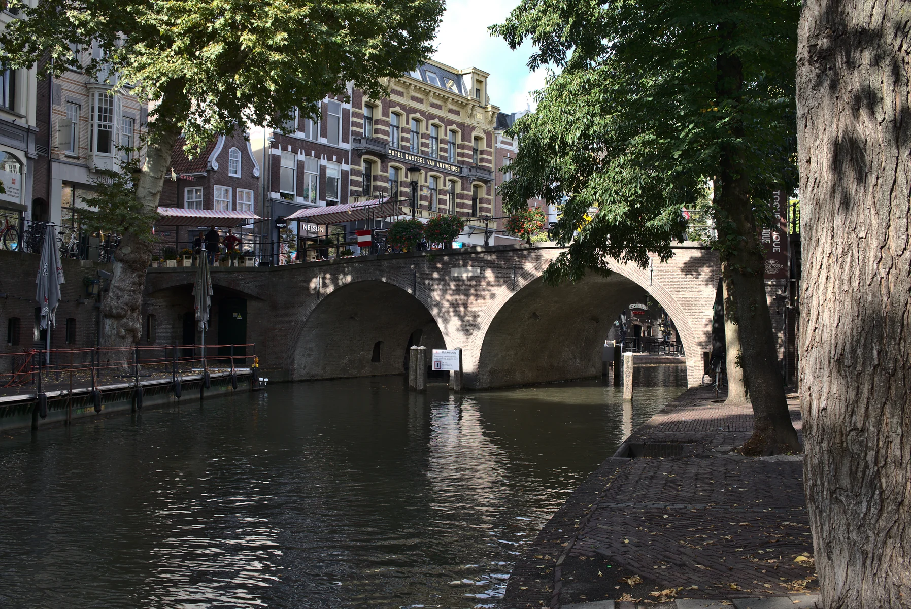
Oudegracht

The city below the city

“Down at water level, Utrecht changes its voice. Footsteps pass overhead. The cellars hold centuries of silence. Even time seems to travel on two levels here.”

Utrecht’s medieval wharves and cellars form a remarkable second street at water level—a harbour system unlike any other in the world.

Open in maps
Twijnstraat05

52.0849° N · 5.1249° E

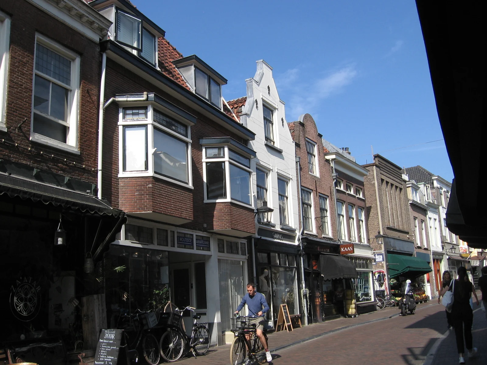
Twijnstraat

Small rituals, old stones

“Bread, coffee, a book you did not mean to buy. This street reminds me that a life is mostly made from small choices repeated with love.”

At the southern end of the Oudegracht lies Utrecht’s oldest shopping street, filled with independent shops, food and neighbourhood character.

Open in maps
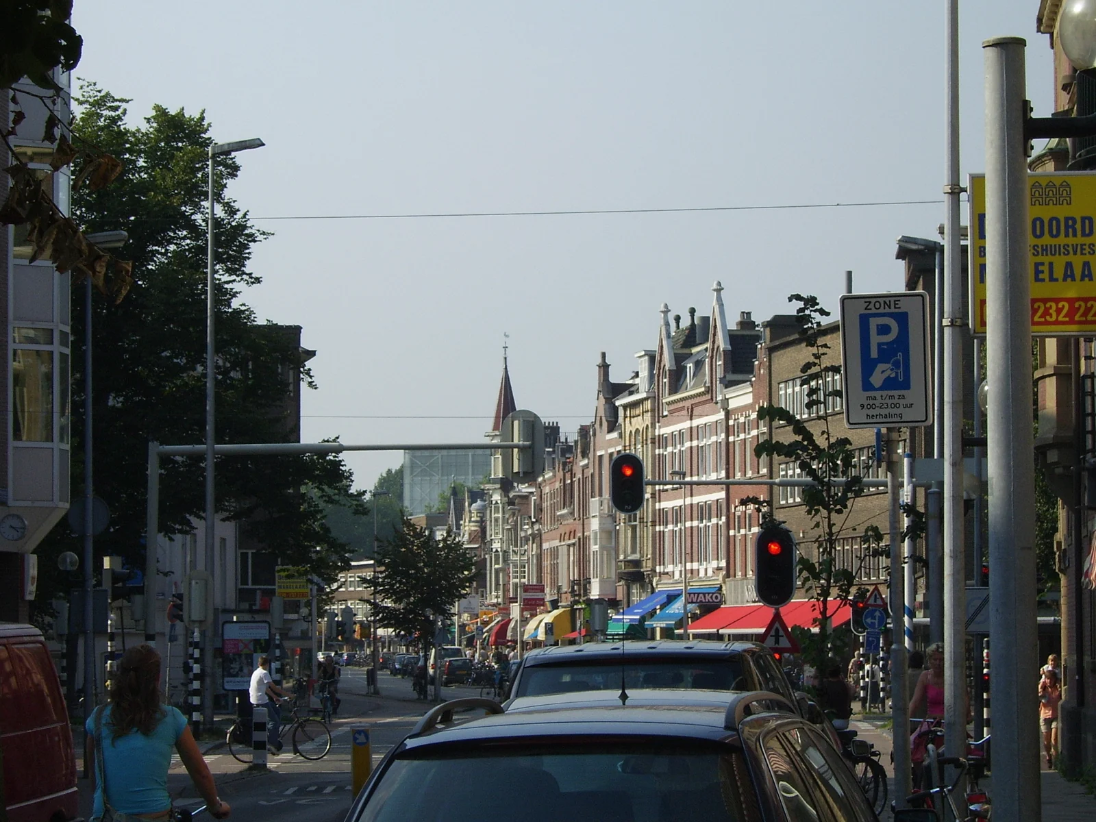
Ledig Erf06

52.0834° N · 5.1253° E

Ledig Erf

The way home

“By evening, everyone seems to cross here on their way to somewhere else. I like standing still for a moment—watching all those separate worlds touch.”

A lively square where the old centre meets the southern neighbourhoods: terraces, bicycles, water and the end of Elsa’s walk.
Open in maps

Listen closely

“There are days when the bells above Utrecht sound almost like a signal.”

— Elsa Meijer

Continue the story

Earth was always
the first world.

Elsa’s Utrecht is the human anchor of Between Two Suns—a familiar place seen differently after contact with the unknown.

Discover the trilogy